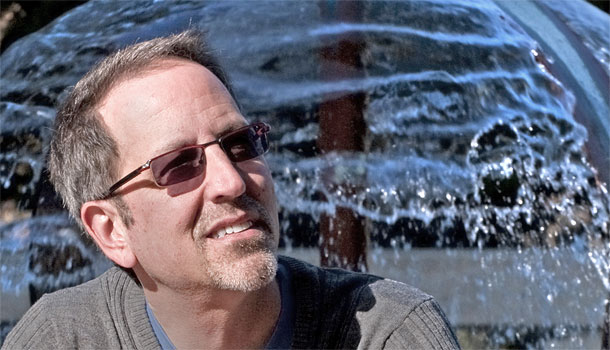
Jay Famiglietti
Earth System Science
Irvine
California farmers know there’s less water in their wells these days, and in the last few years there has been increasing unease over the reliability of the state’s water supply. While early snowmelts and dry river beds offer visible signs of scarcer supplies in parts of the state, scientists say underground reserves also are shrinking. Based on satellite data from the NASA GRACE mission, UC Irvine hydrologist Jay Famiglietti estimates that in the last seven years, aquifers under the state’s Central Valley were drawn down by 25 million acre-feet — almost enough to fill Lake Mead, the nation’s largest reservoir. See recent New York Times article.
Famiglietti, who directs the UC Center for Hydrologic Modeling, got these numbers not by training the satellite’s sensors or cameras on Earth, but by directing one satellite’s attention to another orbiting about 220 kilometers ahead of it. When the distance between the two satellites changes it means Earth's gravity pull on the satellites has changed. And the only thing on the planet moving around in large and heavy enough quantities, and at fast enough speeds, to change the global gravity field every month is water.
Question:
How can a satellite see water that is underground from space?
Answer:
It’s all about mass distribution. When the lead satellite encounters a mass change like a big storm, it gets pulled down toward the anomaly, then drifts back into orbit, and the same thing happens to the second satellite, causing a measurable difference in the gravity field. Ninety-nine percent of the time, what is perturbing the distance between the satellites is mass change on the ground. And the heaviest thing on the planet moving into or out of different regions on our space and time scales is water.
Question:
What happens to these measurements when you plug them into your computer models?
Answer:
We use the numbers to develop an equation representing the global gravity field mathematically. We calculate a gravity field every month, and focus on the differences in the field over the years. Technically it’s called a spherical harmonic expansion. Some people in geophysics feel this kind of mathematics produces data that is even more accurate than what can be measured on the ground.
Question:
How did you relate what you can glean from space orbit to field data on actual conditions in California?
Answer:
In simple terms, we added up 78 months of satellite measurements of total water mass changes, and subtracted on-the-ground data sets on reservoirs, snow and soil moisture. We found that the Sacramento and San Joaquin basins lost more than 20 cubic kilometers of groundwater between 2003 and 2010. The first time we did these calculations, I thought we’d made a mistake, it was such a big decline.
Question:
What got you interested in groundwater in the first place?
Answer:
As a newcomer to Southern California in 2001, I really didn’t think about the valley, or agriculture and water issues. But then I started driving to Boy Scout camp with my son every year, up the valley through Fresno and into the mountains. I started seeing trees that had been stumped, and big piles of brush from dying orchards, and fallow fields that had once been fully planted and green.
But the real catalyst for me was on our last trip to the camp at Shaver Lake in 2006. We invited a couple of the counselors over to our campsite for lunch, and got to talking. They were both from Fresno farm families. One grew grapes, the other citrus. I asked them about water. Both said the same kinds of things, how their wells are going dry, how the state was cutting back on their water deliveries, how the quality of water is going down. One family just retired their vineyards because they couldn’t make any money. The other family cut their acreage in half because there just wasn’t enough water to irrigate. So that was it for me. I decided to take a look at whether the state was actually losing water.
Question:
Can California continue to be the breadbasket of the world?
Answer:
At this rate, in 50-100 years we will have serious problems. We can’t be shortsighted and forget that we have a major water crisis, perhaps even of epic proportions, affecting national security, ahead of us. A couple of wet winters does not erase that.
The connection that the average person doesn’t make is that there is a direct correlation between water availability in the valley and food production, and the price of food. If we want to eat, we have to ensure that this region gets enough water to sustain crops.
Question:
What new information do we need to avert a crisis?
Answer:
The GRACE mission could end at any time, the satellites are getting to the end of their life expectancy. So we need a follow-up mission with higher resolution capabilities. GRACE can help us manage resources at an aquifer scale, but we also need a comprehensive groundwater monitoring network and a way to archive the data in an accessible information system. A huge problem is how to quantify the SWE, snow-water-equivalent in the Sierras. SWE is hard to measure on the ground, and even harder to measure from space. But we need those numbers critically.
Question:
Does having a UC center change how you work?
Answer:
There’s great camaraderie, rather than competition, with my colleagues in San Diego and Davis and Berkeley. The UC Center for Hydrologic Modeling allows us to play on the same team. We’re trying to build a state-of-the-art computer model for California that makes the best research available to the decision-makers.